
Datei:RegionHochrheinBodensee.png

Greßi vu däre Vorschau: 800 × 329 Pixel. Wyteri Ufflösige: 320 × 131 Pixel | 640 × 263 Pixel | 1.699 × 698 Pixel.
Originaldatei (1.699 × 698 Pixel, Dateigrößi: 36 KB, MIME-Typ: image/png)
| Die Datei un d Informatione derzue were us em zäntrale Mediearchiv Wikimedia Commons (Allmänd) iibunde. | Zur Bschriibigssite uff de Allmänd |
| Bschryybig |
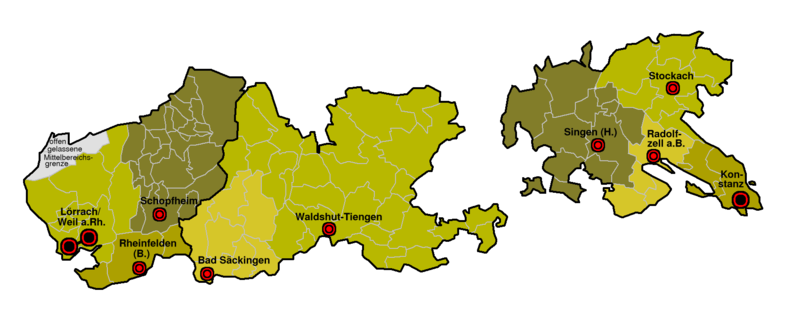
Deutsch: Karte der Mittelbereiche in der Region Hochrhein-Bodensee
English: Maps of planning regions (Mittelbereiche) in the region Hochrhein-Bodensee, Baden-Württemberg, Germany |
||||||||
| Datum | |||||||||
| Quälle | Eigeni Arbet | ||||||||
| Urheber | Ssch | ||||||||
| Gnähmigung (Wyternutzig vu däre Datei) |
Ich haa s Urheberrächt an däm Wärch un vereffetlig s dodermit unter däne Lizänze:
Die Datei isch lizänziert unter dr Creative-Commons-Lizänz Namensnännig – Wytergab unter glyyche Bedingige 2.0 Dytschland.
 Du chasch sälber e Lizänz uuswehle. |

Dateiversione
Klick uf e Zytpunkt zu aazeige, wie s dert usgsäh het.
| Version vom | Vorschaubild | Mäß | Benutzer | Kommentar | |
|---|---|---|---|---|---|
| aktuell | 21:12, 1. Mär. 2007 | 1.699 × 698 (36 KB) | Ssch~commonswiki | {{Information| |Description = de: Karte der Mittelbereiche in der Region Hochrhein-Bodensee<br/> en: Maps of planning regions (Mittelbereiche) in the region Hochrhein-Bodensee, Baden-Württemberg, Germany |Source = drawn by myself |Date = November 2005 |A |
Verwändig vu dr Datei
Di folgende Sytene händ en Link zu dem Bildli:
Wältwyti Dateinutzig
Die andere Wikis bruche die Datei:
- Gebruch uf de.wikipedia.org
- Gebruch uf eo.wikipedia.org