
Datei:Guyane department location map.svg

Gröössi vor PNG-Vorschou vor SVG-Datei: 497 × 600 Pixel. Wyteri Ufflösige: 199 × 240 Pixel | 398 × 480 Pixel | 637 × 768 Pixel | 849 × 1.024 Pixel | 1.698 × 2.048 Pixel | 1.183 × 1.427 Pixel.
Originaldatei (SVG-Datei, Basisgrößi: 1.183 × 1.427 Pixel, Dateigrößi: 433 KB)
| Die Datei un d Informatione derzue were us em zäntrale Mediearchiv Wikimedia Commons (Allmänd) iibunde. | Zur Bschriibigssite uff de Allmänd |
Bschryybig
| Kameraposition | | Dieses und weitere Bilder auf OpenStreetMap |
|---|
| Bschryybig |
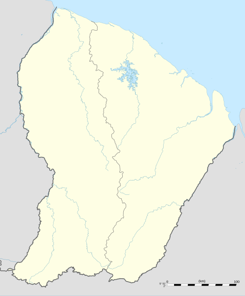
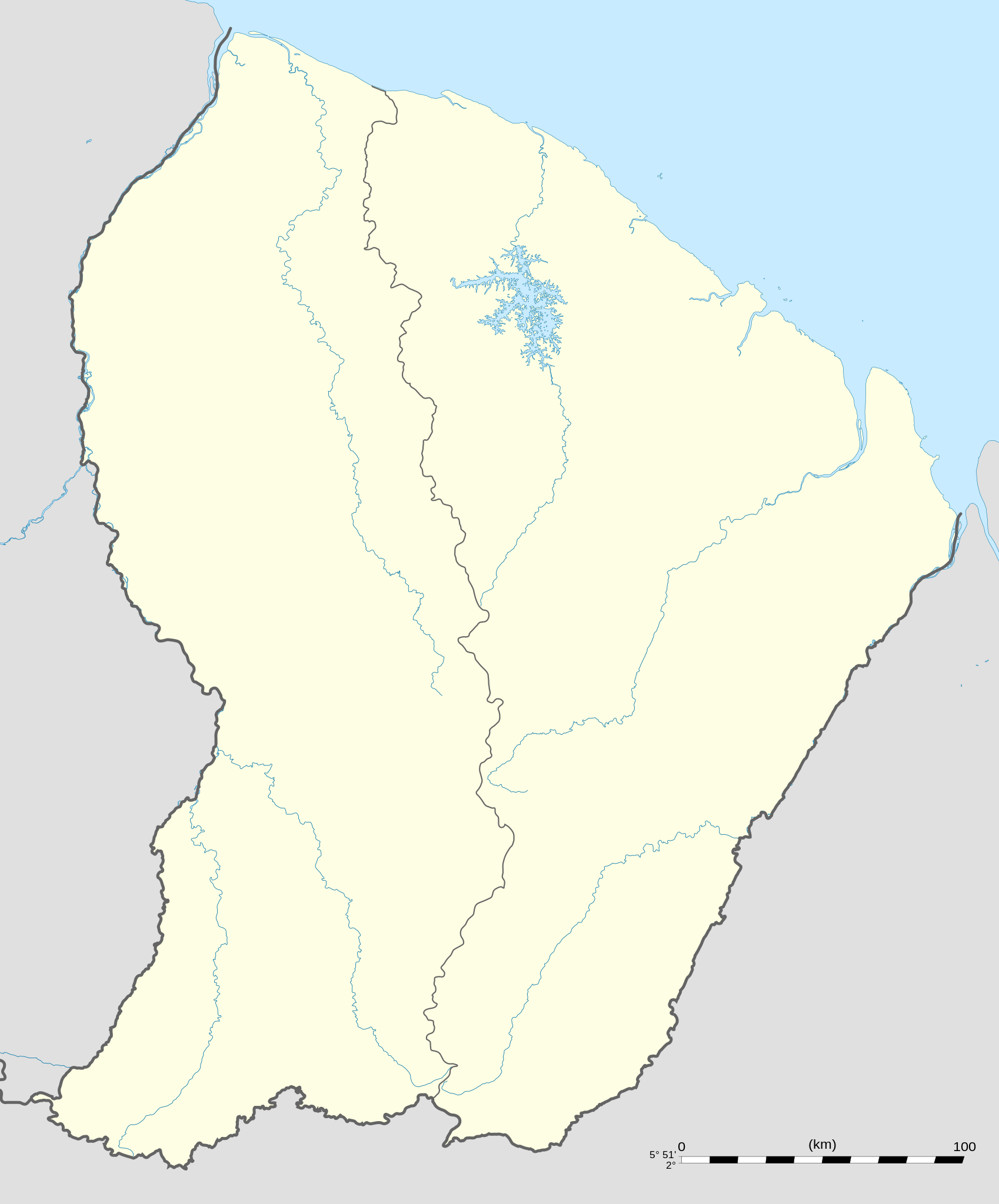
English: Blank administrative map of the region and department of the French Guiana, France, for geo-location purpose, with arrondissements boundaries.
Français : Carte administrative vierge de la région et département de Guyane, France, destinée à la géolocalisation, avec limite des arrondissements. Equirectangular projection, WGS84 datum
Geographic limits of the map:
|
||
| Datum | |||
| Quälle |
Eigeni Arbet
|
||
| Urheber | Eric Gaba (Sting - fr:Sting) | ||
| Gnähmigung (Wyternutzig vu däre Datei) |
|
||
| Anderi Versione |
|

Lizänzierig
Ich haa s Urheberrächt an däm Wärch un vereffetlig s dodermit unter däne Lizänze:
Die Datei isch lizänziert unter dr Creative-Commons-Lizenz Namensnännig – Wytergab unter glyche Bedingige 3.0 nit portiert.
- Du derfsch:
- des Wärch an anderi wytergee – des Wärch kopiere, verbreite un ibertrage
- des Wärch verändere – des Wärch aapasse
- Unter däne Bedingige:
- Namenännig – Du muesch aagmässeni Aagabe zum Urheber un dr Rächt mache, e Link zue dr Lizänz zuefiege un aagee, eb Änderige gmacht wore sin. Die Aagabe chenne in ere aagmässene Art gmacht wäre, aber nit eso, ass dr Yydruck entstoht, ass dr Lizänzgeber Dii oder Dyy Gebruch vum Wärch unterstitze un guetheiße.
- Wytergab unter glyche Bedingige – Wänn du des Wärch veränderesch, umwandlesch oder druf ufböusch, no derfsch s Ergebnis nume unter dr glyche oder ere kumpatible Lizänz wie s Orginal vereffetlige.

|
Des Dokumänt derf kopiert, verbreitet un/oder bearbeitet wäre unter dr Bedingige vu dr GNU-Lizänz fir freji Dokumäntation, Version 1.2 oder ere spetere Version, vereffetligt dur Free Software Foundation. S het keini uuveränderlige Abschnitt, kei vordere Umschlagstext un kei hindere Umschlagstext. E Kopii vu dr Lizänz isch verfiegbar im Abschnitt GNU-Lizänz fir freji Dokumäntation. |
Du chasch sälber e Lizänz uuswehle.
Dateiversione
Klick uf e Zytpunkt zu aazeige, wie s dert usgsäh het.
| Version vom | Vorschaubild | Mäß | Benutzer | Kommentar | |
|---|---|---|---|---|---|
| aktuell | 02:18, 19. Sep. 2008 | | 1.183 × 1.427 (433 KB) | Sting | == Summary == {{Location|03|55|30|N|53|06|00|W|scale:4000000}} <br/> {{Information |Description={{en|Blank administrative map of the region and department of the French Guiana, France, for geo-location purpose, with distinct boundari |
Verwändig vu dr Datei
Di folgende Sytene händ en Link zu dem Bildli:
Wältwyti Dateinutzig
Die andere Wikis bruche die Datei:
- Gebruch uf af.wikipedia.org
- Gebruch uf an.wikipedia.org
- Gebruch uf ar.wikipedia.org
- Gebruch uf ast.wikipedia.org
- Gebruch uf be-tarask.wikipedia.org
- Gebruch uf be.wikipedia.org
- Gebruch uf bg.wikipedia.org
- Gebruch uf bs.wikipedia.org
- Gebruch uf ca.wikipedia.org
- Gebruch uf ceb.wikipedia.org
- Plantilya:Location map French Guiana
- Rocky Point
- Mana (pagklaro)
- Montravel
- Saint-Georges (pagklaro)
- Canal de l'Écluse
- Kourou (pagklaro)
- Kouro
- Canal de l'Ouest
- Crique Coco
- Devils Island
- Kayen
- White Rocks
- Tako
- Cascade River
- Bonnet Rock
- Monkey Mountain
- Kouloumouli Itou
- Rio Oiapoque
- Îlet Alice
- Saut Moura
- Grand Lac
- French Point
- Pointe Française
- Yaou
- Roches Blanches
- Les Mamelles
- Maroni
- Anse de l'Hôpital
- Anse de l'Hopital
- Branche Nord
- Branche Sud
- Crique Alphonse
- Crique Bastien
Wältwyti Verwändig vu däre Datei aaluege.