
Datei:BlankMap-World-Flattened.svg

Gröössi vor PNG-Vorschou vor SVG-Datei: 800 × 406 Pixel. Wyteri Ufflösige: 320 × 162 Pixel | 640 × 325 Pixel | 1.024 × 519 Pixel | 1.280 × 649 Pixel | 2.560 × 1.299 Pixel | 2.754 × 1.397 Pixel.
Originaldatei (SVG-Datei, Basisgrößi: 2.754 × 1.397 Pixel, Dateigrößi: 1,68 MB)
| Die Datei un d Informatione derzue were us em zäntrale Mediearchiv Wikimedia Commons (Allmänd) iibunde. | Zur Bschriibigssite uff de Allmänd |
Bschryybig
| Bschryybig |
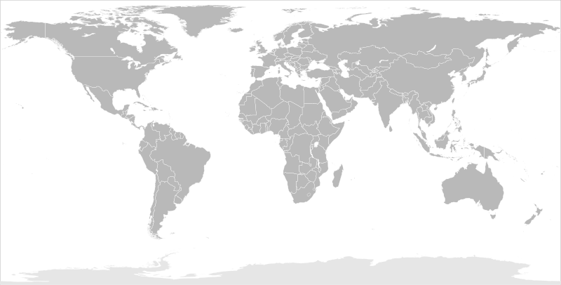
English: Blank political map of the world in modified (flattened) Robinson projection. This image is a sample of output from nugsl-worldmap, a Python script for the manipulation of this map. The script can also produce rotated images, add pinpoint marks at particular geographic coordinates, and produce web pages with clickable areas for specific countries and pinpoint marks.
Note that this map is not equirectangular, and cannot be used as a push-pin map to identify coordinates assuming equal latitude and longitude spacing. A map using the equirectangular projection is available at File:BlankMap-World6-Equirectangular.svg. |
| Datum | (for the script only) |
| Quälle |
http://www.law.nagoya-u.ac.jp/en/appendix/software/worldmap/ Refactored from Image:BlankMap-World.svg, q.v. |
| Urheber | Frank Bennett |
| Gnähmigung (Wyternutzig vu däre Datei) |
The map data manipulated by the script is in the public domain. The raw output of the script, including the file shown here, is also in the public domain. |
| Anderi Versione |
Abgleiteti Wärk vo dere Datei:
|
| SVG‑Erstellung |
Lizänzierig
| Ich, dr Urheberrächtsinhaber vu däm Wärch, tue s as gmeinfrej vereffentlige . Des giltet wältwyt. In mänke Staate chennt des rächtli nit megli syy. Wänn des imfall eso isch: Ich gib e jedem s bedingiglos Rächt, des Wärch jedwädere Zwäck z nutze, ußer s git gesetzlig erforderligi Bedingige. |
Dateiversione
Klick uf e Zytpunkt zu aazeige, wie s dert usgsäh het.
| Version vom | Vorschaubild | Mäß | Benutzer | Kommentar | |
|---|---|---|---|---|---|
| aktuell | 12:44, 20. Mär. 2014 | | 2.754 × 1.397 (1,68 MB) | Underlying lk | fix classes for Soudan and South Soudan |
| 18:01, 16. Mär. 2013 |  | 2.754 × 1.397 (1,68 MB) | Flappiefh | South Sudan added. | |
| 13:47, 14. Jan. 2008 |  | 2.754 × 1.397 (1,67 MB) | Biercenator | Updated to current version of map produced by the script. | |
| 15:22, 19. Dez. 2007 |  | 940 × 477 (1,99 MB) | Biercenator | == Summary == Refactored from en:Image:BlankMap-World6.svg, q.v. This image is a sample of output from [http://gsl-nagoya-u.net/appendix/software/worldmap/ nugsl-worldmap], a Python script for the manipulation and maintenance of this map. The flatt | |
| 17:31, 15. Dez. 2007 |  | 940 × 477 (2 MB) | Biercenator | Refactored from en:Image:BlankMap-World6.svg, q.v. This image might prove useful if you want to change the area shown in the center of the Robinson projection version, since the conversion can be reversed. | |
| 17:18, 15. Dez. 2007 |  | 940 × 477 (2 MB) | Biercenator | == Summary == Refactored from en:BlankMap-World6.svg, q.v. This image might prove useful if you want to area shown in the center of the Robinson projection version, since the conversion can be reversed. |
Verwändig vu dr Datei
Kei Artikel bruucht die Datei.
Wältwyti Dateinutzig
Die andere Wikis bruche die Datei:
- Gebruch uf ca.wikipedia.org
- Gebruch uf de.wikipedia.org
- Gebruch uf en.wikipedia.org
- Gebruch uf es.wikipedia.org
- Gebruch uf fr.wikipedia.org
- Gebruch uf he.wikipedia.org