
Datei:Võru maakond.svg

Gröössi vor PNG-Vorschou vor SVG-Datei: 800 × 576 Pixel. Wyteri Ufflösige: 320 × 230 Pixel | 640 × 460 Pixel | 1.024 × 737 Pixel | 1.280 × 921 Pixel | 2.560 × 1.842 Pixel | 884 × 636 Pixel.
Originaldatei (SVG-Datei, Basisgrößi: 884 × 636 Pixel, Dateigrößi: 450 KB)
| Die Datei un d Informatione derzue were us em zäntrale Mediearchiv Wikimedia Commons (Allmänd) iibunde. | Zur Bschriibigssite uff de Allmänd |
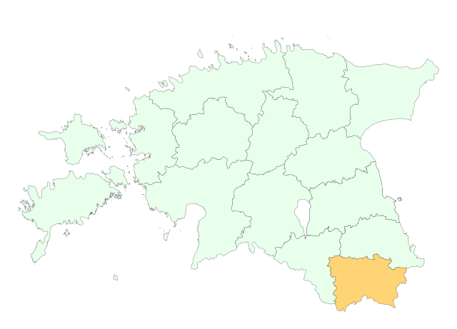
Location of Võru county

|
This map uses administrative map from Estonian Land Board (1.2006) as its data source. Reproduction is authorised, provided the data source is acknowledged and validity date is provided.
Eesti: Andmete kasutamisel tuleb viitena ära märkida andmeallikana Maa-amet ning viidata andmete seisule.
|
Dateiversione
Klick uf e Zytpunkt zu aazeige, wie s dert usgsäh het.
| Version vom | Vorschaubild | Mäß | Benutzer | Kommentar | |
|---|---|---|---|---|---|
| aktuell | 21:43, 25. Mai 2006 | | 884 × 636 (450 KB) | Wkentaur | Location of Võru county {{EST-Land Board|1.2006}} Category:Location maps of Estonian counties |
Verwändig vu dr Datei
Di folgende Sytene händ en Link zu dem Bildli:
Wältwyti Dateinutzig
Die andere Wikis bruche die Datei:
- Gebruch uf be-tarask.wikipedia.org
- Gebruch uf be.wikipedia.org
- Gebruch uf hr.wikipedia.org
- Gebruch uf ko.wikipedia.org
- Gebruch uf kw.wikipedia.org
- Gebruch uf nn.wikipedia.org
- Gebruch uf pt.wikipedia.org
- Gebruch uf vo.wikipedia.org