
Datei:Chile location map.svg

Gröössi vor PNG-Vorschou vor SVG-Datei: 267 × 600 Pixel. Wyteri Ufflösige: 107 × 240 Pixel | 213 × 480 Pixel | 342 × 768 Pixel | 455 × 1.024 Pixel | 911 × 2.048 Pixel | 1.183 × 2.658 Pixel.
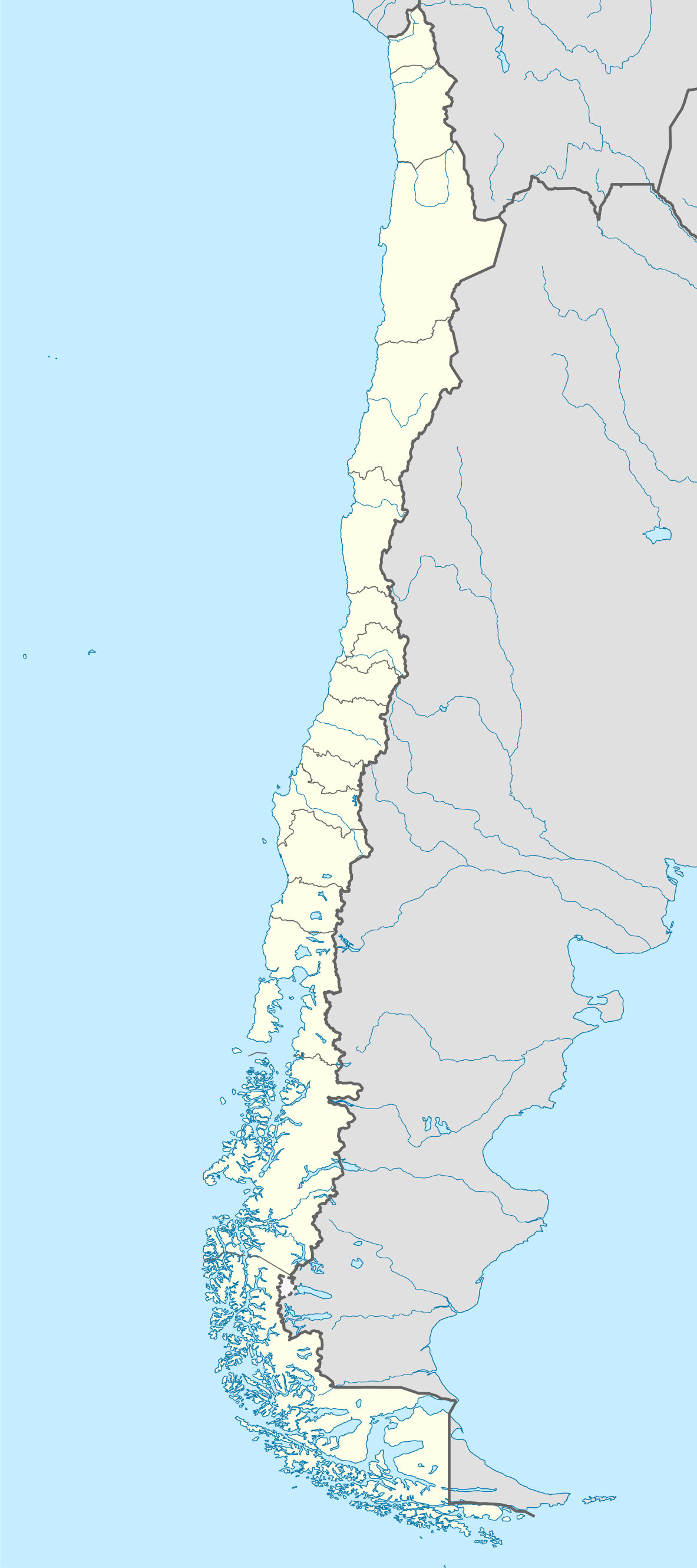
Originaldatei (SVG-Datei, Basisgrößi: 1.183 × 2.658 Pixel, Dateigrößi: 925 KB)
| Die Datei un d Informatione derzue were us em zäntrale Mediearchiv Wikimedia Commons (Allmänd) iibunde. | Zur Bschriibigssite uff de Allmänd |
Bschryybig
| Bschryybig |
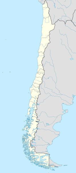
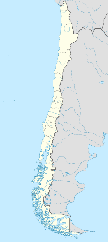
Deutsch: Positionskarte von Chile
Quadratische Plattkarte, N-S-Streckung 115 %. Geographische Begrenzung der Karte:
English: Location map of Chile
Equirectangular projection, N/S stretching 115 %. Geographic limits of the map:
Español: Mapa de localización de Chile
Proyección Equirectangular, N/S con una extensión de 115 %. Límites geográficos del mapa:
|
| Datum | |
| Quälle |
own work, using
|
| Urheber | NordNordWest |
| Anderi Versione |
Abgleiteti Wärk vo dere Datei:
|
.svg)
.svg)
.svg)
.svg)

|
Diese Karte wurde in der Kartenwerkstatt erstellt oder verbessert. Auch du kannst dort Karten vorschlagen, die zu erstellen, verändern oder übersetzen sind.
|
Lizänzierig
Ich haa s Urheberrächt an däm Wärch un vereffetlig s dodermit unter däne Lizänze:

|
Des Dokumänt derf kopiert, verbreitet un/oder bearbeitet wäre unter dr Bedingige vu dr GNU-Lizänz fir freji Dokumäntation, Version 1.2 oder ere spetere Version, vereffetligt dur Free Software Foundation. S het keini uuveränderlige Abschnitt, kei vordere Umschlagstext un kei hindere Umschlagstext. E Kopii vu dr Lizänz isch verfiegbar im Abschnitt GNU-Lizänz fir freji Dokumäntation. |
Die Datei isch lizänziert unter dr Creative-Commons-Lizenz Namensnännig – Wytergab unter glyche Bedingige 3.0 nit portiert.
- Du derfsch:
- des Wärch an anderi wytergee – des Wärch kopiere, verbreite un ibertrage
- des Wärch verändere – des Wärch aapasse
- Unter däne Bedingige:
- Namenännig – Du muesch aagmässeni Aagabe zum Urheber un dr Rächt mache, e Link zue dr Lizänz zuefiege un aagee, eb Änderige gmacht wore sin. Die Aagabe chenne in ere aagmässene Art gmacht wäre, aber nit eso, ass dr Yydruck entstoht, ass dr Lizänzgeber Dii oder Dyy Gebruch vum Wärch unterstitze un guetheiße.
- Wytergab unter glyche Bedingige – Wänn du des Wärch veränderesch, umwandlesch oder druf ufböusch, no derfsch s Ergebnis nume unter dr glyche oder ere kumpatible Lizänz wie s Orginal vereffetlige.
Du chasch sälber e Lizänz uuswehle.
Dateiversione
Klick uf e Zytpunkt zu aazeige, wie s dert usgsäh het.
| Version vom | Vorschaubild | Mäß | Benutzer | Kommentar | |
|---|---|---|---|---|---|
| aktuell | 00:46, 16. Aug. 2023 | | 1.183 × 2.658 (925 KB) | Janitoalevic | Fixed Aysén & Magallanes and Chilean Antarctica Regions border. |
| 00:54, 6. Sep. 2018 |  | 1.183 × 2.658 (925 KB) | Janitoalevic | Ñuble Region | |
| 22:30, 3. Dez. 2017 |  | 1.183 × 2.658 (921 KB) | Janitoalevic | color error. | |
| 22:28, 3. Dez. 2017 |  | 1.183 × 2.658 (921 KB) | Janitoalevic | Fixed Argentina's Lake Nahuel Huapi | |
| 22:25, 3. Dez. 2017 |  | 1.183 × 2.658 (920 KB) | Janitoalevic | . | |
| 23:50, 2. Dez. 2017 |  | 1.183 × 2.658 (920 KB) | Janitoalevic | Fixed Argentina-Bolivia border | |
| 23:46, 2. Dez. 2017 |  | 1.183 × 2.658 (920 KB) | Janitoalevic | . | |
| 02:42, 30. Aug. 2017 |  | 1.183 × 2.658 (919 KB) | Janitoalevic | Fixed size | |
| 01:30, 21. Aug. 2017 |  | 1.262 × 2.835 (910 KB) | Janitoalevic | Removed Ñuble Region (Will be fully implemented in 2018) | |
| 03:00, 20. Aug. 2017 |  | 1.262 × 2.835 (914 KB) | Janitoalevic | Added Ñuble Region & more precise borders |
Verwändig vu dr Datei
Di folgende Sytene händ en Link zu dem Bildli:
Wältwyti Dateinutzig
Die andere Wikis bruche die Datei:
- Gebruch uf af.wikipedia.org
- Antofagasta
- Pichilemu
- FIFA Sokker-Wêreldbekertoernooi in 1962
- Chillán
- Los Ángeles (Chili)
- Talcahuano
- Quinta Normal
- Temuco
- Puerto Montt
- Punta Arenas
- Coyhaique
- Valdivia
- Castro (Chili)
- San Pedro de la Paz
- Villa Alemana
- Sjabloon:Liggingkaart Chili
- Penco
- Hualpén
- Chiguayante
- Hualqui
- Coronel (Chili)
- Lota
- Tomé
- La Serena
- Arica
- Monte Águila (Chili)
- Arturo Merino Benítez Internasionale Lughawe
- Gebruch uf an.wikipedia.org
- Santiago de Chile
- Pichilemu
- Concepción (Chile)
- Talcahuano
- Vitacura
- Lo Barnechea
- Villa Alemana
- San Pedro de la Paz
- Chillán
- Angol
- Hualqui
- Valparaíso
- Aeropuerto Internacional Carriel Sur
- Yumbel
- Salamanca (Chile)
- La Serena (Chile)
- Punta Arenas
- Coihaique
- Puerto Montt
- Temuco
- Lonquimay
- Monte Águila
- Plantilla:Mapa de localización Chile
Wältwyti Verwändig vu däre Datei aaluege.