
Datei:Canada Ontario location map 2.svg

Gröössi vor PNG-Vorschou vor SVG-Datei: 526 × 599 Pixel. Wyteri Ufflösige: 211 × 240 Pixel | 421 × 480 Pixel | 674 × 768 Pixel | 899 × 1.024 Pixel | 1.798 × 2.048 Pixel | 2.032 × 2.314 Pixel.
Originaldatei (SVG-Datei, Basisgrößi: 2.032 × 2.314 Pixel, Dateigrößi: 1,4 MB)
| Die Datei un d Informatione derzue were us em zäntrale Mediearchiv Wikimedia Commons (Allmänd) iibunde. | Zur Bschriibigssite uff de Allmänd |
Bschryybig
| Bschryybig |
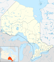
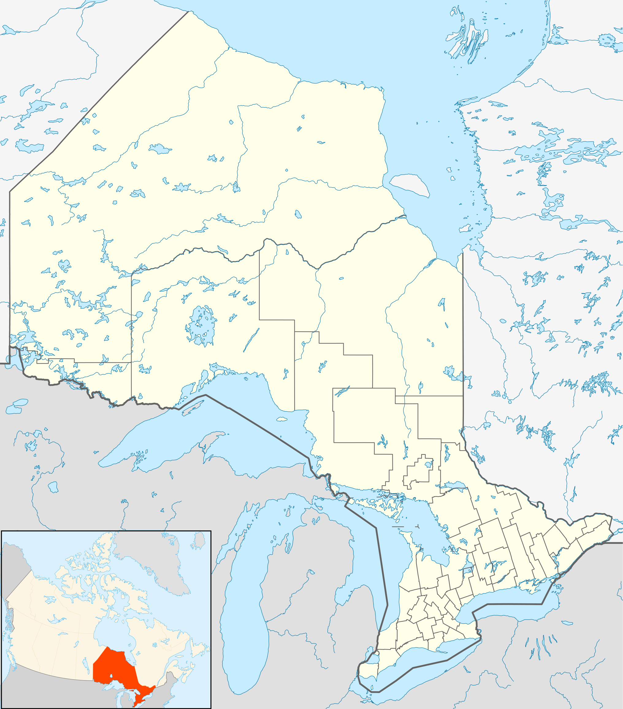
Quadratische Plattkarte, N-S-Streckung 155 %. Geographische Begrenzung der Karte:
Equirectangular projection, N/S stretching 155 %. Geographic limits of the map:
|
| Datum | |
| Quälle |
NordNordWest, using
|
| Urheber | NordNordWest |
| Gnähmigung (Wyternutzig vu däre Datei) |
Ich haa s Urheberrächt an däm Wärch un vereffetlig s dodermit unter däre Lizänz: Die Datei isch lizänziert unter dr Creative-Commons-Lizenz Namensnännig – Wytergab unter glyche Bedingige 3.0 nit portiert.
|
| Anderi Versione |
|


Dateiversione
Klick uf e Zytpunkt zu aazeige, wie s dert usgsäh het.
| Version vom | Vorschaubild | Mäß | Benutzer | Kommentar | |
|---|---|---|---|---|---|
| aktuell | 23:32, 22. Sep. 2009 | | 2.032 × 2.314 (1,4 MB) | Michiel1972 | {{int:filedesc}} {{Information |Description= {{de|Positionskarte von Ontario, Kanada}} Quadratische Plattkarte, N-S-Streckung 155 %. Geographische Begrenzung der Karte: * N: 57.1° N * S: 41.3° N * W: 95.5° W * O: 74.0° W |
Verwändig vu dr Datei
Di folgende Sytene händ en Link zu dem Bildli:
Wältwyti Dateinutzig
Die andere Wikis bruche die Datei:
- Gebruch uf af.wikipedia.org
- Gebruch uf ar.wikipedia.org
- Gebruch uf ast.wikipedia.org
- Gebruch uf azb.wikipedia.org
- Gebruch uf ba.wikipedia.org
- Gebruch uf bg.wikipedia.org
- Gebruch uf bn.wikipedia.org
- Gebruch uf ceb.wikipedia.org
- Gebruch uf cs.wikipedia.org
- Gebruch uf da.wikipedia.org
- Gebruch uf en.wikipedia.org
Wältwyti Verwändig vu däre Datei aaluege.