
Datei:Seine-Maritime department relief location map.jpg

Greßi vu däre Vorschau: 800 × 584 Pixel. Wyteri Ufflösige: 320 × 234 Pixel | 640 × 467 Pixel | 1.024 × 748 Pixel | 1.331 × 972 Pixel.
Originaldatei (1.331 × 972 Pixel, Dateigrößi: 211 KB, MIME-Typ: image/jpeg)
| Die Datei un d Informatione derzue were us em zäntrale Mediearchiv Wikimedia Commons (Allmänd) iibunde. | Zur Bschriibigssite uff de Allmänd |
Bschryybig
| Kameraposition | | Dieses und weitere Bilder auf OpenStreetMap |
|---|
| Bschryybig |
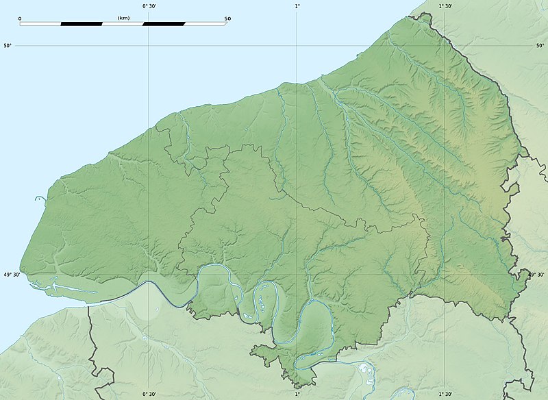
Français : Carte physique vierge du département de la Seine-Maritime, France, destinée à la géolocalisation. Scales:
Equirectangular projection, WGS84 datum
Geographic limits of the map:
|
||
| Datum | |||
| Quälle |
Eigeni Arbet
|
||
| Urheber | Eric Gaba (Sting - fr:Sting) | ||
| Gnähmigung (Wyternutzig vu däre Datei) |
|
||
| Anderi Versione |
|

Lizänzierig
Eric Gaba, Wikimedia Commons user Sting, dr Urheber vu däm Wärch, vereffetligt s dodermit unter däre Lizänz:
Die Datei isch lizänziert unter dr Creative-Commons-Lizenz Namensnännig – Wytergab unter glyche Bedingige 3.0 nit portiert.
Namenännig: Eric Gaba, Wikimedia Commons user Sting
- Du derfsch:
- des Wärch an anderi wytergee – des Wärch kopiere, verbreite un ibertrage
- des Wärch verändere – des Wärch aapasse
- Unter däne Bedingige:
- Namenännig – Du muesch aagmässeni Aagabe zum Urheber un dr Rächt mache, e Link zue dr Lizänz zuefiege un aagee, eb Änderige gmacht wore sin. Die Aagabe chenne in ere aagmässene Art gmacht wäre, aber nit eso, ass dr Yydruck entstoht, ass dr Lizänzgeber Dii oder Dyy Gebruch vum Wärch unterstitze un guetheiße.
- Wytergab unter glyche Bedingige – Wänn du des Wärch veränderesch, umwandlesch oder druf ufböusch, no derfsch s Ergebnis nume unter dr glyche oder ere kumpatible Lizänz wie s Orginal vereffetlige.
Dateiversione
Klick uf e Zytpunkt zu aazeige, wie s dert usgsäh het.
| Version vom | Vorschaubild | Mäß | Benutzer | Kommentar | |
|---|---|---|---|---|---|
| aktuell | 23:18, 18. Jul. 2010 | | 1.331 × 972 (211 KB) | Sting | Color profile |
| 19:31, 30. Jun. 2010 |  | 1.331 × 972 (218 KB) | Sting | == {{int:filedesc}} == {{Location|49|39|45|N|00|55|30|E|scale:400000}} <br/> {{Information |Description={{en|Blank physical map of the department of Seine-Maritime, France, for geo-locati |
Verwändig vu dr Datei
Di folgende Sytene händ en Link zu dem Bildli:
Wältwyti Dateinutzig
Die andere Wikis bruche die Datei:
- Gebruch uf cs.wikipedia.org
- Gebruch uf de.wikipedia.org
- Gebruch uf de.wikivoyage.org
- Gebruch uf en.wikipedia.org
- Gebruch uf eo.wikipedia.org
- Havro
- Rueno
- Fécamp
- Dieppe
- Le Grand-Quevilly
- Forges-les-Eaux
- Saint-Saëns
- Clères
- Ŝablono:Situo sur mapo Francio Seine-Maritime
- Tram-metroo de Rouen
- Lillebonne
- Saint-Étienne-du-Rouvray
- Le Tréport
- Yvetot
- Rolleville
- Montivilliers
- Saint-Aubin-lès-Elbeuf
- Elbeuf
- Oissel
- Serqueux (Seine-Maritime)
- Bréauté
- Beuzeville-la-Grenier
- Sotteville-lès-Rouen
- Varengeville-sur-Mer
- Sainte-Marguerite-sur-Mer
- Aumale (Seine-Maritime)
- Eu (Seine-Maritime)
- Amfreville-la-Mi-Voie
- Arques-la-Bataille
- Aubermesnil-Beaumais
- Belbeuf
- Bihorel
- Bois-Guillaume
- Bonsecours (Seine-Maritime)
- La Bouille
- Ancourt
- Canteleu
Wältwyti Verwändig vu däre Datei aaluege.