
Datei:Kiribati relief location map.jpg
Greßi vu däre Vorschau: 800 × 362 Pixel. Wyteri Ufflösige: 320 × 145 Pixel | 640 × 289 Pixel | 1.488 × 673 Pixel.
Originaldatei (1.488 × 673 Pixel, Dateigrößi: 647 KB, MIME-Typ: image/jpeg)
| Die Datei un d Informatione derzue were us em zäntrale Mediearchiv Wikimedia Commons (Allmänd) iibunde. | Zur Bschriibigssite uff de Allmänd |
Bschryybig
| Bschryybig | |
| Datum | |
| Quälle | Eigeni Arbet |
| Urheber | Uwe Dedering |
| Anderi Versione |
|

Lizänzierig
Ich haa s Urheberrächt an däm Wärch un vereffetlig s dodermit unter däre Lizänz:
Die Datei isch lizänziert unter dr Creative-Commons-Lizenz Namensnännig – Wytergab unter glyche Bedingige 3.0 nit portiert.
- Du derfsch:
- des Wärch an anderi wytergee – des Wärch kopiere, verbreite un ibertrage
- des Wärch verändere – des Wärch aapasse
- Unter däne Bedingige:
- Namenännig – Du muesch aagmässeni Aagabe zum Urheber un dr Rächt mache, e Link zue dr Lizänz zuefiege un aagee, eb Änderige gmacht wore sin. Die Aagabe chenne in ere aagmässene Art gmacht wäre, aber nit eso, ass dr Yydruck entstoht, ass dr Lizänzgeber Dii oder Dyy Gebruch vum Wärch unterstitze un guetheiße.
- Wytergab unter glyche Bedingige – Wänn du des Wärch veränderesch, umwandlesch oder druf ufböusch, no derfsch s Ergebnis nume unter dr glyche oder ere kumpatible Lizänz wie s Orginal vereffetlige.
Dateiversione
Klick uf e Zytpunkt zu aazeige, wie s dert usgsäh het.
| Version vom | Vorschaubild | Mäß | Benutzer | Kommentar | |
|---|---|---|---|---|---|
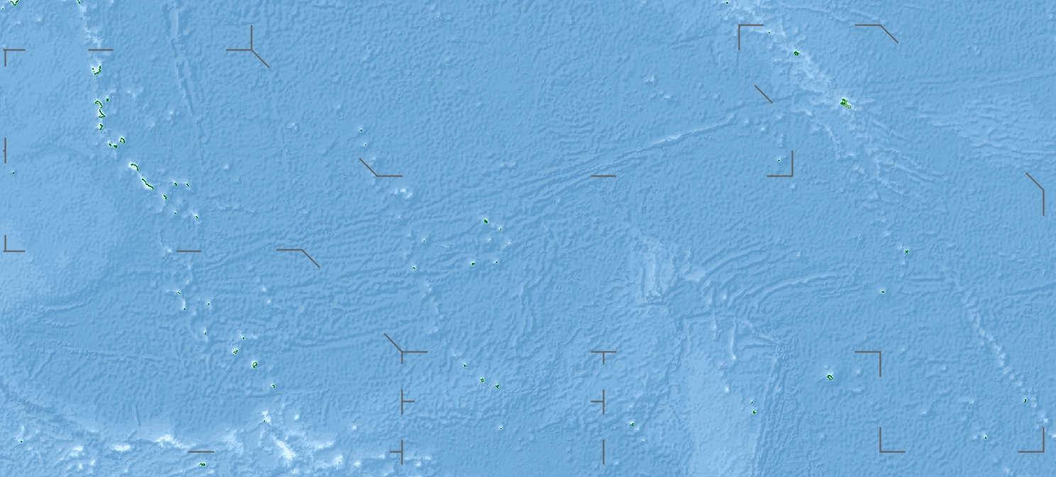
| aktuell | 18:04, 23. Apr. 2010 | | 1.488 × 673 (647 KB) | Uwe Dedering | {{Information |Description={{en|1=Location map of Kiribati}} Equirectangular projection. Geographic limits of the map: * N: 6° N * S: 13° S * W: 169° E * E: 149° W Made with Natural Earth. Free vector and raster map data @ n |
Verwändig vu dr Datei
Di folgende Sytene händ en Link zu dem Bildli:
Wältwyti Dateinutzig
Die andere Wikis bruche die Datei:
- Gebruch uf ar.wikipedia.org
- Gebruch uf ast.wikipedia.org
- Gebruch uf az.wikipedia.org
- Gebruch uf ba.wikipedia.org
- Gebruch uf be.wikipedia.org
- Gebruch uf bg.wikipedia.org
- Gebruch uf bh.wikipedia.org
- Gebruch uf bn.wikipedia.org
- Gebruch uf bs.wikipedia.org
- Gebruch uf ceb.wikipedia.org
- Gebruch uf ce.wikipedia.org
- Gebruch uf ckb.wikipedia.org
- Gebruch uf cs.wikipedia.org
- Gebruch uf de.wikipedia.org
- Kiritimati
- Bairiki
- Tabuaeran
- Teraina
- Malden (Insel)
- McKean (Kiribati)
- Enderbury
- Birnie
- Manra
- Rawaki
- Starbuck (Insel)
- Vostok (Insel)
- Flint (Insel)
- Buariki (Aranuka)
- Wikipedia:Kartenwerkstatt/Positionskarten/Australien und Ozeanien
- Vorlage:Positionskarte Kiribati Gilbertinseln
- Benutzer:Uwe Dedering
- Vorlage:Positionskarte Kiribati
- Vorlage:Positionskarte Kiribati Kiritimati
- Washington Lake
- Wikipedia:Fragen zur Wikipedia/Archiv/2016/Woche 24
- Takaeang
- Buariki (Kuria)
- Oneeke
Wältwyti Verwändig vu däre Datei aaluege.