
Datei:Géorgie (Europe).png

Greßi vu däre Vorschau: 766 × 600 Pixel. Wyteri Ufflösige: 307 × 240 Pixel | 613 × 480 Pixel | 981 × 768 Pixel | 1.280 × 1.002 Pixel | 1.619 × 1.268 Pixel.
Originaldatei (1.619 × 1.268 Pixel, Dateigrößi: 196 KB, MIME-Typ: image/png)
| Die Datei un d Informatione derzue were us em zäntrale Mediearchiv Wikimedia Commons (Allmänd) iibunde. | Zur Bschriibigssite uff de Allmänd |
.png?uselang=als)
| Bschryybig |
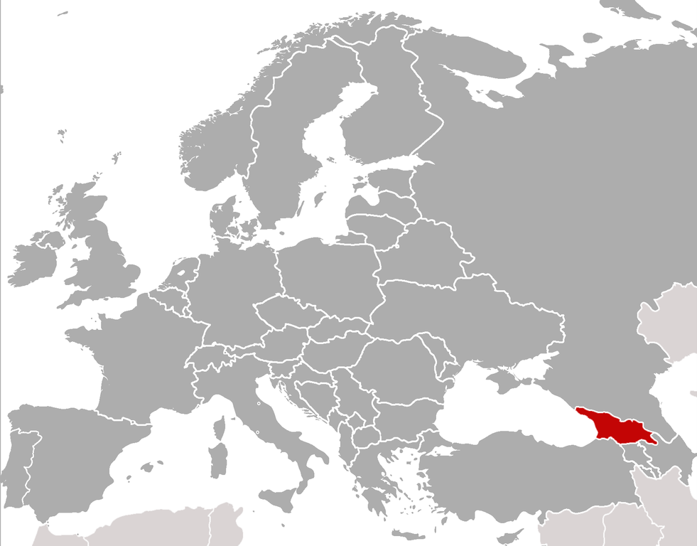
Location of Georgia (rep. in Europe) (Red) Location of Georgia.
(Grey) Europe. |
| Datum | (UTC) |
| Quälle | |
| Urheber |
|
| Dieses Bild wurde digital nachbearbeitet. Folgende Änderungen wurden vorgenommen: cropped, added location. Das Originalbild kann hier eingesehen werden: BlankMap-Europe-v4.png:
|
Ich haa s Urheberrächt an däm Wärch un vereffetlig s dodermit unter däne Lizänze:
| Die Datei isch lizänziert unter dr Creative-Commons-Lizenz Namensnännig – Wytergab unter glyche Bedingige 3.0 nit portiert. | ||
| ||
| Die Lizänzmarkierig isch wäg em GFDL-Lizänzupdate zuegfiegt wore. |

|
Des Dokumänt derf kopiert, verbreitet un/oder bearbeitet wäre unter dr Bedingige vu dr GNU-Lizänz fir freji Dokumäntation, Version 1.2 oder ere spetere Version, vereffetligt dur Free Software Foundation. S het keini uuveränderlige Abschnitt, kei vordere Umschlagstext un kei hindere Umschlagstext. E Kopii vu dr Lizänz isch verfiegbar im Abschnitt GNU-Lizänz fir freji Dokumäntation. |
Du chasch sälber e Lizänz uuswehle.
sarxan qaracoplu sarxan qaracoplu
Orginal Logbuech vu uffegladene Datei
This image is a derivative work of the following images: sarxan qaracoplu*File:BlankMap-Europe-v4.png licensed with Cc-by-sa-3.0-migrated, GFDL
- 2010-02-23T18:00:48Z Maps & Lucy 2100x1525 (131745 Bytes) Fixed the border of Kosovo with Serbia, proportioned British Overseas Cyprus Territories, San Marino, Vatican City, Monacco, and the Spanish Overseas Moroccan Territories, and added Guersney, Jersy, Liechtenstein, and Gibralt
- 2009-03-30T16:12:12Z Cradel 2100x1525 (131867 Bytes) Reverted to version as of 17:12, 8 March 2009
- 2009-03-20T22:20:11Z Avala 2100x1525 (70412 Bytes) what does this map represent? upload an alternative for unofficial views
- 2009-03-08T17:12:32Z Cradel 2100x1525 (131867 Bytes) Reverted to version as of 06:05, 5 April 2008
- 2008-11-20T01:00:56Z Tocino 2100x1525 (70412 Bytes) Reverted to version as of 19:36, 19 March 2008
- 2008-04-05T06:05:34Z Hoshie 2100x1525 (131867 Bytes) added the UK SBAs on Cyprus
- 2008-03-22T21:58:25Z Nightstallion 2100x1525 (131807 Bytes) Reverted to version as of 16:35, 13 March 2008
- 2008-03-19T19:36:48Z Patstuart 2100x1525 (70412 Bytes) Reverted to version as of 18:16, 11 March 2008 - see [[Image talk:BlankMap-World-v6.png#As stated in reversion]]
- 2008-03-13T16:35:26Z Nightstallion 2100x1525 (131807 Bytes) upload a variant if you wish, but the majority in Europe recognises or will recognise.
- 2008-03-11T18:16:50Z Avala 2100x1525 (70412 Bytes) there is no consensus in Europe
- 2008-02-24T02:42:03Z Hoshie 2100x1525 (131807 Bytes) Added Kosovo since it has been internationally recognized
- 2007-05-02T09:05:00Z Roke 2100x1525 (70412 Bytes) better version derived from svg
- 2006-06-26T06:32:12Z Roke 748x546 (27077 Bytes) minor - bottom left box
- 2006-06-26T05:53:48Z Roke 748x546 (27099 Bytes) {{Information |Description= blank map of europe, including north africa and western asia. With french overseas territories shown in inset lower left (French Guiana, Guadeloupe, Martinique, Reunion) |Source= derived from [[:Im
Hochgeladen mit derivativeFX
Dateiversione
Klick uf e Zytpunkt zu aazeige, wie s dert usgsäh het.
| Version vom | Vorschaubild | Mäß | Benutzer | Kommentar | |
|---|---|---|---|---|---|
| aktuell | 00:21, 6. Feb. 2011 | | 1.619 × 1.268 (196 KB) | ComtesseDeMingrelie | {{Information |Description=Location of Georgia (rep. in Europe) {{legend|#FF0000|'''(Red)''' Location of Georgia.}} {{legend|#808080|'''(Grey)''' Europe.}} |Source=*File:BlankMap-Europe-v4.png |Date=2011-02-05 22:20 (UTC) |Author=*[[: |
Verwändig vu dr Datei
Di folgende Sytene händ en Link zu dem Bildli:
Wältwyti Dateinutzig
Die andere Wikis bruche die Datei:
- Gebruch uf ar.wikipedia.org
- Gebruch uf bcl.wikipedia.org
- Gebruch uf bjn.wikipedia.org
- Gebruch uf bo.wikipedia.org
- Gebruch uf br.wikipedia.org
- Gebruch uf bs.wikipedia.org
- Gebruch uf incubator.wikimedia.org
- Template:Wn/az/Ölkə xəbərləri-Gürcüstan
- Wn/az/Ermənistanın Gürcüstandakı səfirliyi qarşısında etiraz aksiyası keçirilib
- Wn/az/Bakı-Tbilisi-Qars yeni dəmir yolu xəttində ilk sınaq keçirilib
- Wn/az/Gürcüstanın Cənubi Osetiya Muxtar Vilayətində Türkiyə jurnalistlərinə atəş açılıb
- Wn/az/Çəkiliş vaxtı Mixail Saakaşvilinin xanımına hücum ediblər
.png)