
Datei:India location map2.svg

Gröössi vor PNG-Vorschou vor SVG-Datei: 557 × 600 Pixel. Wyteri Ufflösige: 223 × 240 Pixel | 446 × 480 Pixel | 713 × 768 Pixel | 951 × 1.024 Pixel | 1.902 × 2.048 Pixel | 1.500 × 1.615 Pixel.
Originaldatei (SVG-Datei, Basisgrößi: 1.500 × 1.615 Pixel, Dateigrößi: 1,69 MB)
| Die Datei un d Informatione derzue were us em zäntrale Mediearchiv Wikimedia Commons (Allmänd) iibunde. | Zur Bschriibigssite uff de Allmänd |

|
Die Grenzen in dieser Karte zeigen den De-facto-Zustand. Dies ist nur eine von mehreren verschiedenen Ansichten zu diesem Thema (siehe COM:NPOV). |
Bschryybig
| Bschryybig |
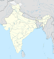
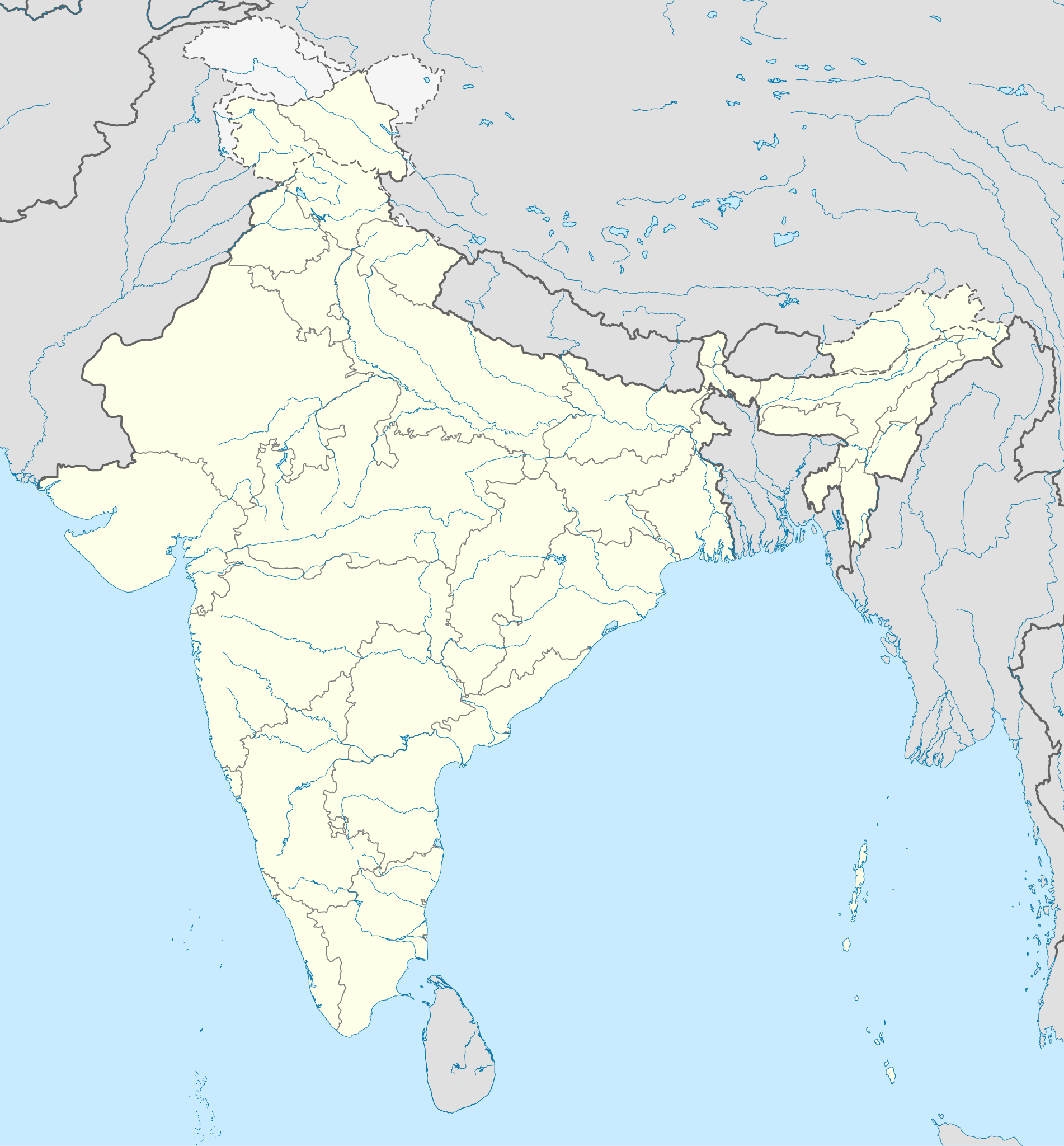
English: Location map of India. Equirectangular projection. Strechted by 106.0%. Geographic limits of the map: * N: 37.5° N * S: 5.0° N * W: 67.0° E * E: 99.0° E Made with Natural Earth. Free vector and raster map data @ naturalearthdata.com. |
| Datum | |
| Quälle | Eigenes Werk, basierend auf: File:India location map.svg von Uwe Dedering at de:Wp |
| Urheber | AshwiniKalantri |
| Anderi Versione |
[]
|
| SVG‑Erstellung |


Lizänzierig
Ich haa s Urheberrächt an däm Wärch un vereffetlig s dodermit unter däne Lizänze:
Die Datei isch lizänziert unter dr Creative-Commons-Lizenz Namensnännig – Wytergab unter glyche Bedingige 3.0 nit portiert.
- Du derfsch:
- des Wärch an anderi wytergee – des Wärch kopiere, verbreite un ibertrage
- des Wärch verändere – des Wärch aapasse
- Unter däne Bedingige:
- Namenännig – Du muesch aagmässeni Aagabe zum Urheber un dr Rächt mache, e Link zue dr Lizänz zuefiege un aagee, eb Änderige gmacht wore sin. Die Aagabe chenne in ere aagmässene Art gmacht wäre, aber nit eso, ass dr Yydruck entstoht, ass dr Lizänzgeber Dii oder Dyy Gebruch vum Wärch unterstitze un guetheiße.
- Wytergab unter glyche Bedingige – Wänn du des Wärch veränderesch, umwandlesch oder druf ufböusch, no derfsch s Ergebnis nume unter dr glyche oder ere kumpatible Lizänz wie s Orginal vereffetlige.
Die Datei isch lizänziert unter dr Creative-Commons-Lizänz Namensnännig – Wytergab unter glyyche Bedingige 3.0 Dytschland.
- Du derfsch:
- des Wärch an anderi wytergee – des Wärch kopiere, verbreite un ibertrage
- des Wärch verändere – des Wärch aapasse
- Unter däne Bedingige:
- Namenännig – Du muesch aagmässeni Aagabe zum Urheber un dr Rächt mache, e Link zue dr Lizänz zuefiege un aagee, eb Änderige gmacht wore sin. Die Aagabe chenne in ere aagmässene Art gmacht wäre, aber nit eso, ass dr Yydruck entstoht, ass dr Lizänzgeber Dii oder Dyy Gebruch vum Wärch unterstitze un guetheiße.
- Wytergab unter glyche Bedingige – Wänn du des Wärch veränderesch, umwandlesch oder druf ufböusch, no derfsch s Ergebnis nume unter dr glyche oder ere kumpatible Lizänz wie s Orginal vereffetlige.


|
Des Dokumänt derf kopiert, verbreitet un/oder bearbeitet wäre unter dr Bedingige vu dr GNU-Lizänz fir freji Dokumäntation, Version 1.2 oder ere spetere Version, vereffetligt dur Free Software Foundation. S het keini uuveränderlige Abschnitt, kei vordere Umschlagstext un kei hindere Umschlagstext. E Kopii vu dr Lizänz isch verfiegbar im Abschnitt GNU-Lizänz fir freji Dokumäntation. |
Du chasch sälber e Lizänz uuswehle.
Orginal Logbuech vu uffegladene Datei
This image is a derivative work of the following images:
- File:India location map.svg licensed with Cc-by-sa-3.0, Cc-by-sa-3.0-de, GFDL
- 2011-01-18T16:10:27Z Uwe Dedering 1500x1615 (2478400 Bytes) Reverted to version as of 15:50, 17 January 2011 and again, layer structure destroyed, and first discuss this!
- 2011-01-17T19:04:20Z AshwiniKalantri 1500x1615 (1593649 Bytes) The disputed land of Kashmir are shown in a different shade.
- 2011-01-17T15:50:03Z Uwe Dedering 1500x1615 (2478400 Bytes) Reverted to version as of 11:34, 22 September 2010 vandalism
- 2011-01-16T23:30:30Z AshwiniKalantri 1500x1615 (2104259 Bytes) {{Information |Description=Location Map of India |Source= |Date= |Author= |Permission= |other_versions= }}
- 2010-09-22T11:34:41Z BishkekRocks 1500x1615 (2478400 Bytes) The area north of the Siachen Glacier is also part of Chinese-controlled Kashmir.
- 2010-08-31T16:36:47Z Uwe Dedering 1500x1615 (2412750 Bytes) Coloured Pakistani-controlled parts of Kashmir in dark grey & Chinese-controlled Kashmir also. no reason to treat them differently.
- 2010-08-31T11:26:31Z AnonyLog 1500x1615 (2104259 Bytes) A lighter shade is used for uniformity with other maps of India and Pakistan on Wikipedia.
- 2010-05-05T16:44:39Z Uwe Dedering 1500x1615 (2412750 Bytes) Reverted to version as of 12:26, 3 March 2010 make them dark-grey if you wish....
- 2010-05-05T15:43:19Z BishkekRocks 1500x1615 (2104259 Bytes) Coloured Pakistani-controlled parts of Kashmir in light grey (like Chinese-controlled Kashmir). Alternatively colour both in dark grey, no reason to treat them differently.
- 2010-03-03T12:26:13Z Uwe Dedering 1500x1615 (2412750 Bytes) {{Information |Description={{en|Location map of India. Equirectangular projection. Strechted by 106.0%. Geographic limits of the map: * N: 37.5° N * S: 5.0° N * W: 67.0° E * E: 99.0° E Made with Natural Earth. Free vector
Hochgeladen mit derivativeFX
Dateiversione
Klick uf e Zytpunkt zu aazeige, wie s dert usgsäh het.
| Version vom | Vorschaubild | Mäß | Benutzer | Kommentar | |
|---|---|---|---|---|---|
| aktuell | 15:48, 14. Okt. 2020 | | 1.500 × 1.615 (1,69 MB) | NordNordWest | upd Telangana/Andhra Pradesh |
| 12:58, 2. Nov. 2019 |  | 1.500 × 1.615 (1,65 MB) | NordNordWest | upd Jammu and Kashmir | |
| 10:59, 3. Jun. 2014 |  | 1.500 × 1.615 (1,63 MB) | NordNordWest | + Telangana | |
| 14:58, 11. Jun. 2012 |  | 1.500 × 1.615 (1,54 MB) | NordNordWest | adding waterbodies | |
| 22:30, 25. Feb. 2011 |  | 1.500 × 1.615 (1,57 MB) | AshwiniKalantri | {{Information |Description={{en|Location map of India. Equirectangular projection. Strechted by 106.0%. Geographic limits of the map: * N: 37.5° N * S: 5.0° N * W: 67.0° E * E: 99.0° E Made with Natural Earth. Free vector and raster map data @ natural |
Verwändig vu dr Datei
Di folgende Sytene händ en Link zu dem Bildli:
Wältwyti Dateinutzig
Die andere Wikis bruche die Datei:
- Gebruch uf as.wikipedia.org
- Gebruch uf az.wikipedia.org
- Gebruch uf bh.wikipedia.org
- Gebruch uf de.wikipedia.org
- Indien
- Varanasi
- Bhopal
- Taj Mahal
- Rajgir
- Dharamsala
- Neu-Delhi
- Mumbai
- Kolkata
- Darjeeling (Stadt)
- Prayagraj
- Ahmedabad
- Chandigarh
- Amritsar
- Chennai
- Bengaluru
- Tharangambadi
- Qadian
- Hyderabad (Indien)
- Kozhikode
- Agartala
- Pune
- Agra
- Auroville
- Hampi
- Sarnath
- Jaipur
- Leh
- Katastrophe von Bhopal
- Mahe (Indien)
- Deoband
- Srinagar
- Vrindavan
- Velha Goa
- Patna
- Bodhgaya
- Madurai
- Kanpur
- Surat
- Lucknow
- Nagpur
- Indore
- Panaji
- Ludhiana
Wältwyti Verwändig vu däre Datei aaluege.